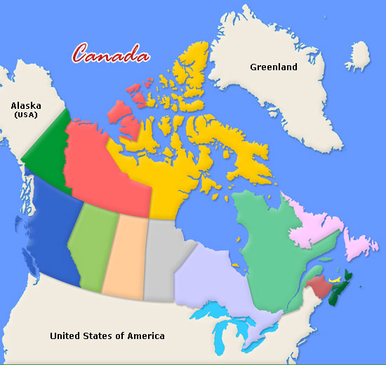
- Where the provinces and territories go on a map of Canada
- Where the physical regions of Canada go on a map of Canada
- The difference between a political region and a physical region
To help you remember the provinces, there is a song that you can sing to yourself which orders them from east to west.
- Compare the similarities and differences between 2 or more physical regions of Canada
The provinces of Canada are fun to remember,
Fun to remember, fun to remember (x2)
So sing them with me.
Newfoundland and P.E.I,
Nova Scotia, and New Brunswick
Quebec, Ontario, and from there you'll see
Manitoba, Saskatchewan, Alberta, B.C.
(But don't forget about Nunavut, Northwest
Territories, and the Yukon!)
Also, take a look at the map of Canada below and try to label all 10 provinces and 3 territories yourself. Click here to practice.

